Lake Valhalla Hike
A story about a washed away road, how I couldn't find a trail, night hike on the Pacific Crest Trail, and killer-mosquitoes 🦟

I took a week off from hiking and planned to resume my adventures last Wednesday after work. I’ve got two days off (Thursday and Friday) and decided it’s a great opportunity to try and go on a 3-night & 23-mile backpacking trip near Glacier Peak. Let me just say that it ended up being a 12-mile 2-night trip… 20 miles away from the trail I’ve initially planned to hike. It’s a funny story, actually.
Let me back up a little. I plan my hikes in advance, and I put quite a bit of work into this planning. I want to know what to expect, what to prepare for, what to look forward to. Before I arrive at the trailhead, I usually have a map, a backup map, a plan, a route, planned campsites, Plan B campsites, water sources, sketchy river crossings, and more. I also try to tailor the gear and supplies I take with me to the specifics of the trail I’m about to spend a few days on.
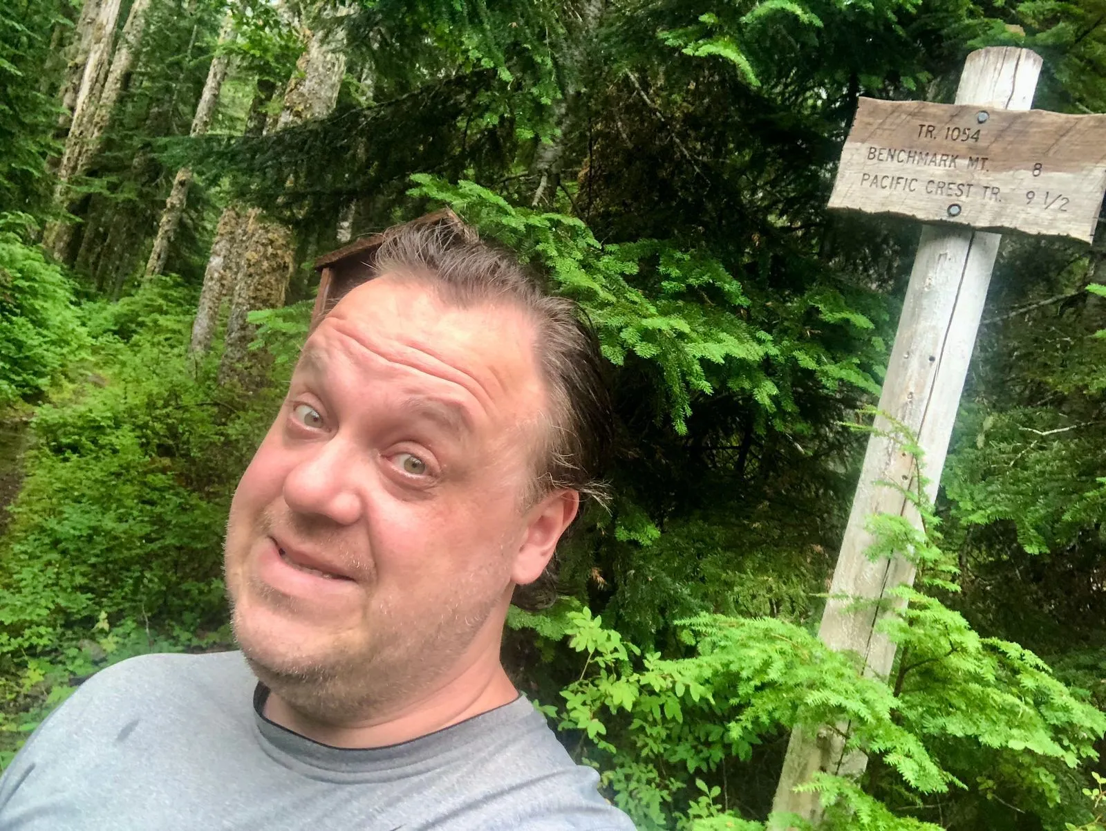
This trip was no exception. I planned to hike a 23-mile loop, starting at North Fork Skykomish river trailhead and going counter-clockwise via Cady Ridge towards Dishpan Gap and back along the river. It supposed to take me 3 full days (allowing for unexpected) and included climbing Benchmark Mountain and hiking about 6 miles of the Pacific Crest Trail.
I planned to arrive at the trailhead before dark on Wednesday; it sounded like a sure thing. The road to the trailhead was a fairly straight line from Index, WA which is fairly close to my house. With offline maps in hand, I packed my pack, got into my car, and took off.
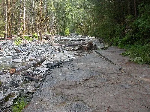
Now. When you turn a corner and see an old mossy sign saying that the road is closed ahead, don’t disregard it. Maybe the sign is there for a reason, and Google Maps, Apple Maps, and some other maps just don’t know better. This was my first mistake — trusting technologies instead of a road sign. Anywho, about 13 miles from the trailhead I stopped at a road barricade saying “Road Closed”. I was in such a shock that I didn’t even take a photo, but here’s the exact spot of the barricade.
Or here:
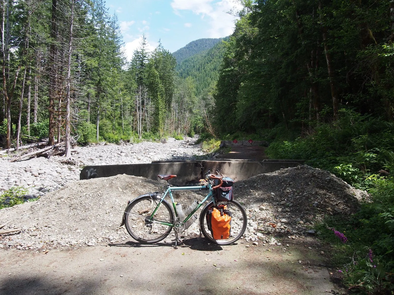
Anyway, suffice to say, the “Road Closed” sing was ironic redundant. Apparently, this section of the road washed away in 2006 and is now North Fork Skykomish river 🤷♂️
Picture this: 30 minutes before sunset, you’re in the middle of nowhere. Your GPS tells you to take the riverbed for another 30 minutes, and you have no Plan B for this type of situation. What to do? Go home, admit defeat, regroup, and try again tomorrow? But then a 3-night hike would turn into a 2-night hike, and also it’s just lame. Try to find a different road? Perhaps, but who knows how long it would take, and also what if there is no other road?!
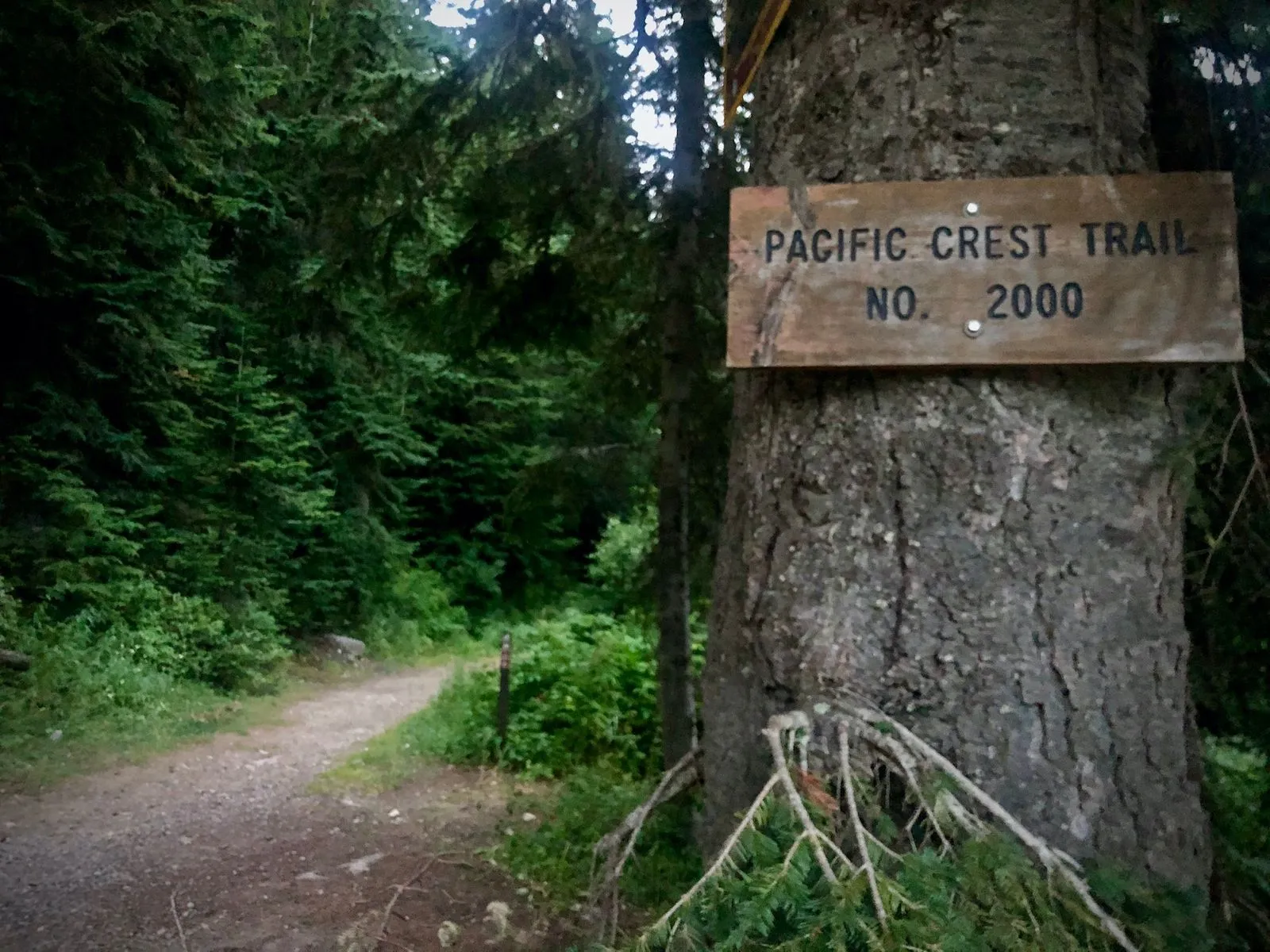
Well, regroup and adapt is basically my life motto. So I regrouped. And adapted. What other trails I know in the vicinity that would guarantee at least 3 days’ worth of backpacking, have campsites and I know something about the trail itself? Bingo! There’s a spot where PCT crosses Highway 2 just 30 minutes east of Index. I know PCT. I know there are campsites, water sources, and attractions, and boy does PCT guarantee 3 days’ worth of hiking!.. Onward!
At sunset, I arrived at Stevens Pass. I decided to take the northbound trail; I parked my car, geared up, and stepped on the trail. It’s going to be an adventure!
About half a mile in, I realized that I forgot my hiking poles in the trunk. It wouldn’t be a problem if my tent didn’t require these poles. Alas, I went all the way back to the parking lot, mumbling quite elaborate curses under my breath. By the time I stepped on the trail again, it was dark. I already made the decision to attempt my first actual night hike (disregard forced night hike at White Pass!), so I strapped on my headlamp, turned it on, and went ahead.
This section of the trail goes through ancestral land of Skokomish Nation. This particular section is on the very outskirts of their lands since the tribe historically lives along the Skykomish river, still this is Skokomish Indian Tribe land.
The new plan was to reach Valhalla Lake. Ironically, it’s one of the super-popular hiking destinations in the area — I try really hard to avoid popular hikes at all costs. But remember? Regroup and adapt! So the new plan was to attempt this 6+ mile hike (~1,800 feet of elevation gain) and set up camp at the lake. The next day, hike along the PCT as far as I can, and the day after, push to get back in one go. Plan B was to hike right now as far as I can or until I find a suitable place to pitch up my tent. This Plan B very soon turned into Plan A. Hiking at night in the relative wilderness on an unfamiliar trail is very exciting, but since my ultimate goal was to get back home in one piece, I decided that I’ll stop as soon as I find a good place for a tent.
Crossing streams in the dark with only a headlamp illuminating the way is such a surreal experience! The shimmering water, sparkling rocks, and complete darkness. A thrill!
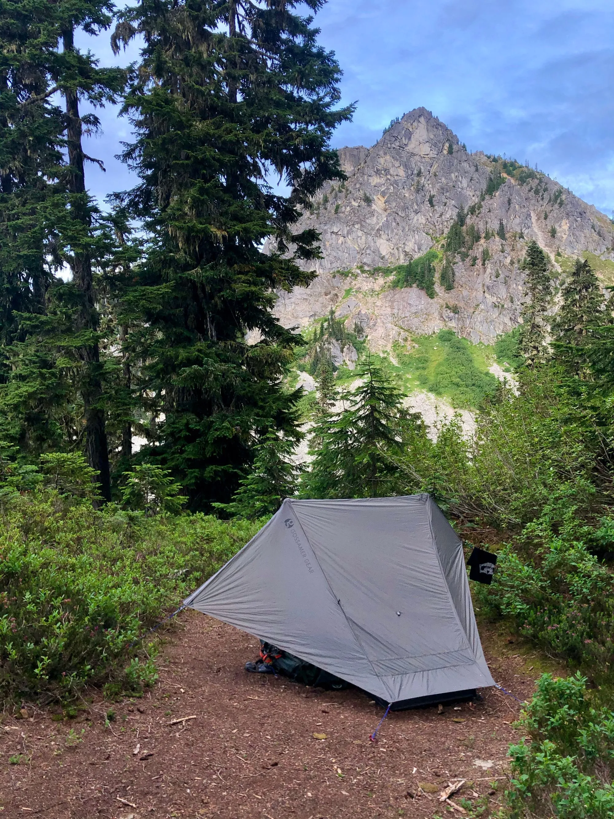
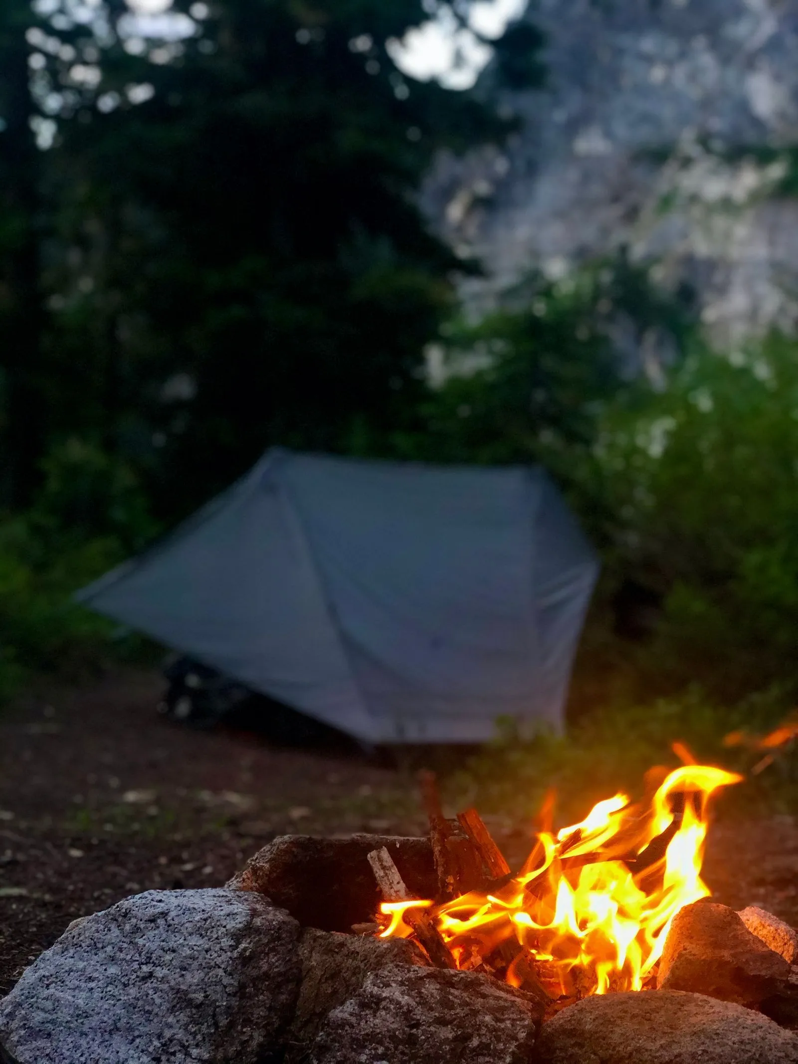
About 3 miles in, I found a spot by a creek and decided to spend the night there. Since setting up my tent in the dark is now my second nature, it only took me about 10 minutes to get all set for the night.
I didn’t get much sleep. Not sure if it was the excitement of an adventure, anxiety about ruined plans, or something else entirely, but I woke up groggy and sore. I refilled my water, had breakfast, and spent probably an hour just relaxing, enjoying nature, and not doing jack squat. At this point, I made an executive decision to hike to lake Valhalla and reassess my options. Should I hike further? Or should I spend the night at the lake and go back? 🤔
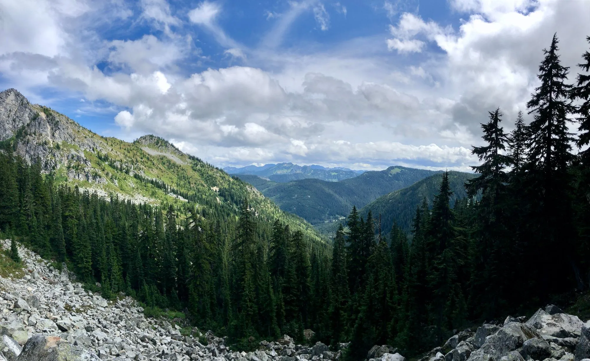
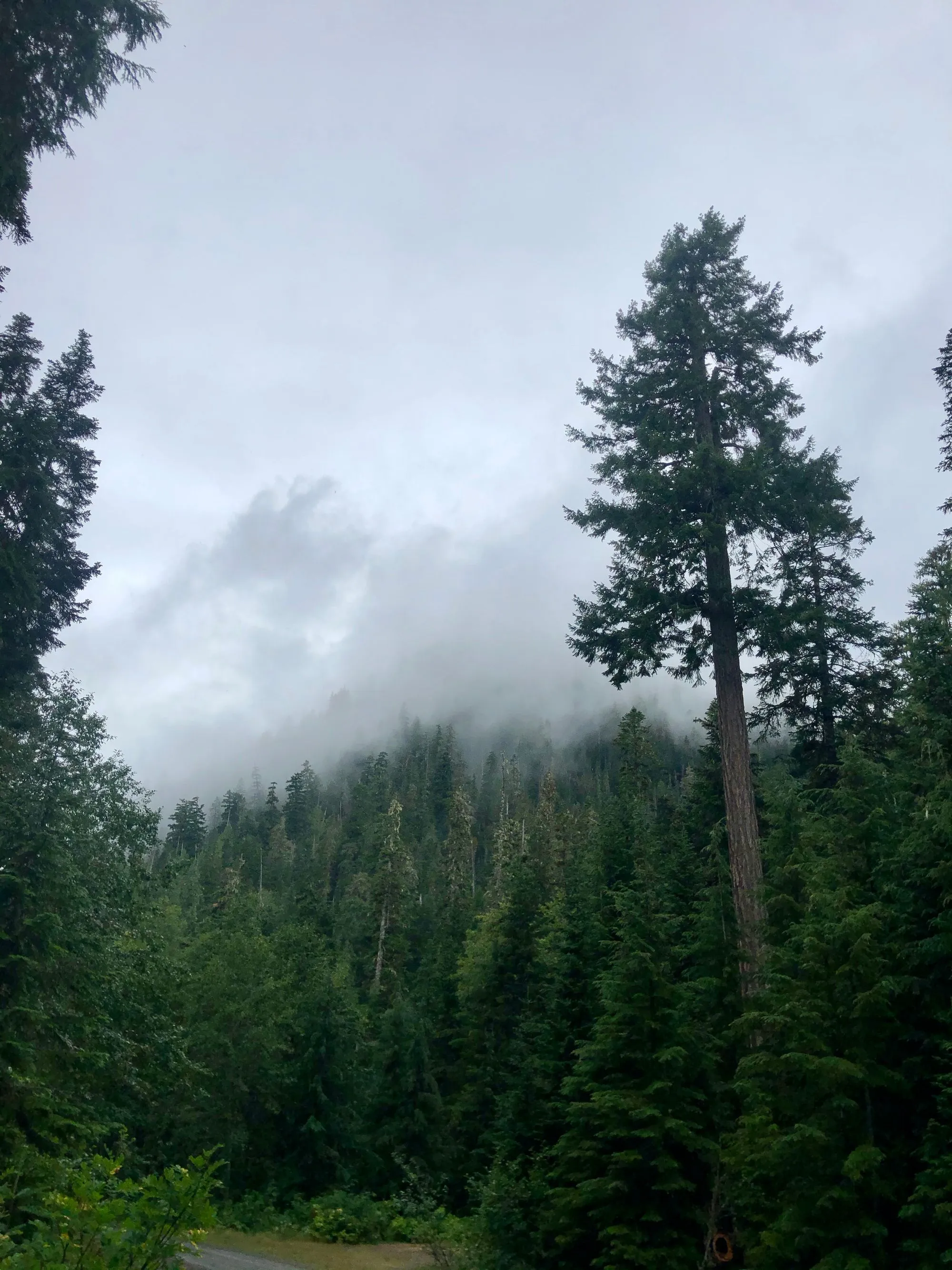
The hike was beautiful, as expected. Pretty easy, gentle incline, lots of shade and places to pause and breath.
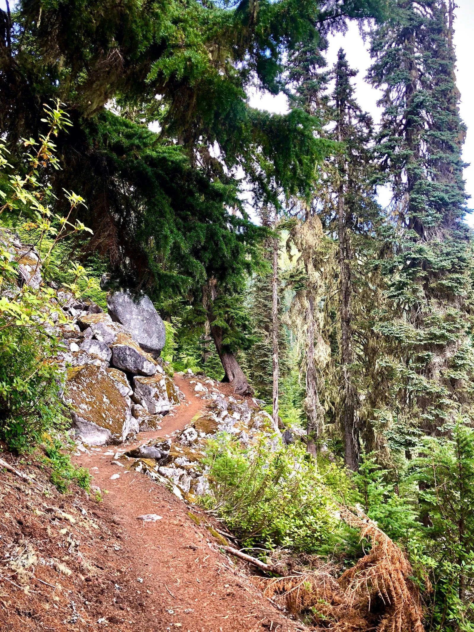
The views are stunning, and I got really lucky considering a bunch of rain in the forecast.
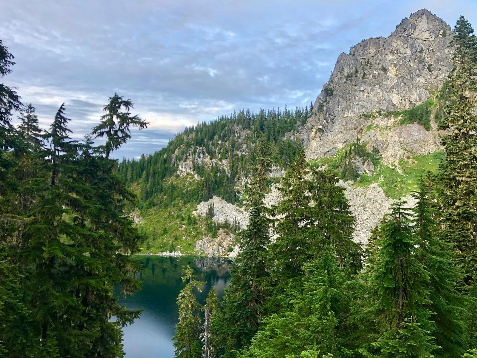
Around 2 in the afternoon, I arrived at Lake Valhalla. It’s a regular lake. Just a lake. Like, just like any other lake. It’s pretty, but it’s not a gem or something.
Whatever. By the time I got there, it was clear that my sleepless night left me no choice but to set up camp and take a nap. Which I did.
I napped for a few hours with bees buzzing in the background and hungry mosquitoes staring at me through the net side of my tent. When I woke up, I decided that I’m not going anywhere today. I’ll stay here, make dinner, get some good night’s sleep and see how it goes. Do I hike further? Do I turn back? I’ll think about it tomorrow.
When tomorrow came, I was conflicted about my immediate future. On one hand, I came here to hike, and turning back is admitting defeat. On the other hand, I have nowhere to hike, really; I don’t know if there are significant features further down the trail, I don’t have a mile count in place to make sure I can return in time. I already wasted almost a day at the lake napping. Well, I guess it only makes sense to cut this short, return to the trailhead, and go back home. Breakfast, water refill, packing — and off I go.
It was raining half of my way back, and I was too lazy to put on my raincoat. What’s the point? I’ll be in my car in, like, an hour, and will dry out within minutes. Also, who doesn’t love rain? What’s wrong with you?! :)
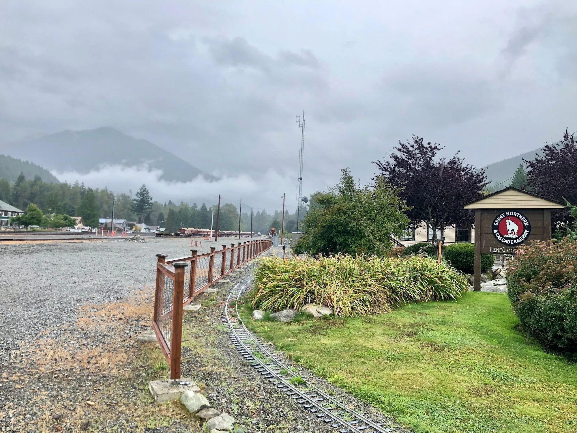
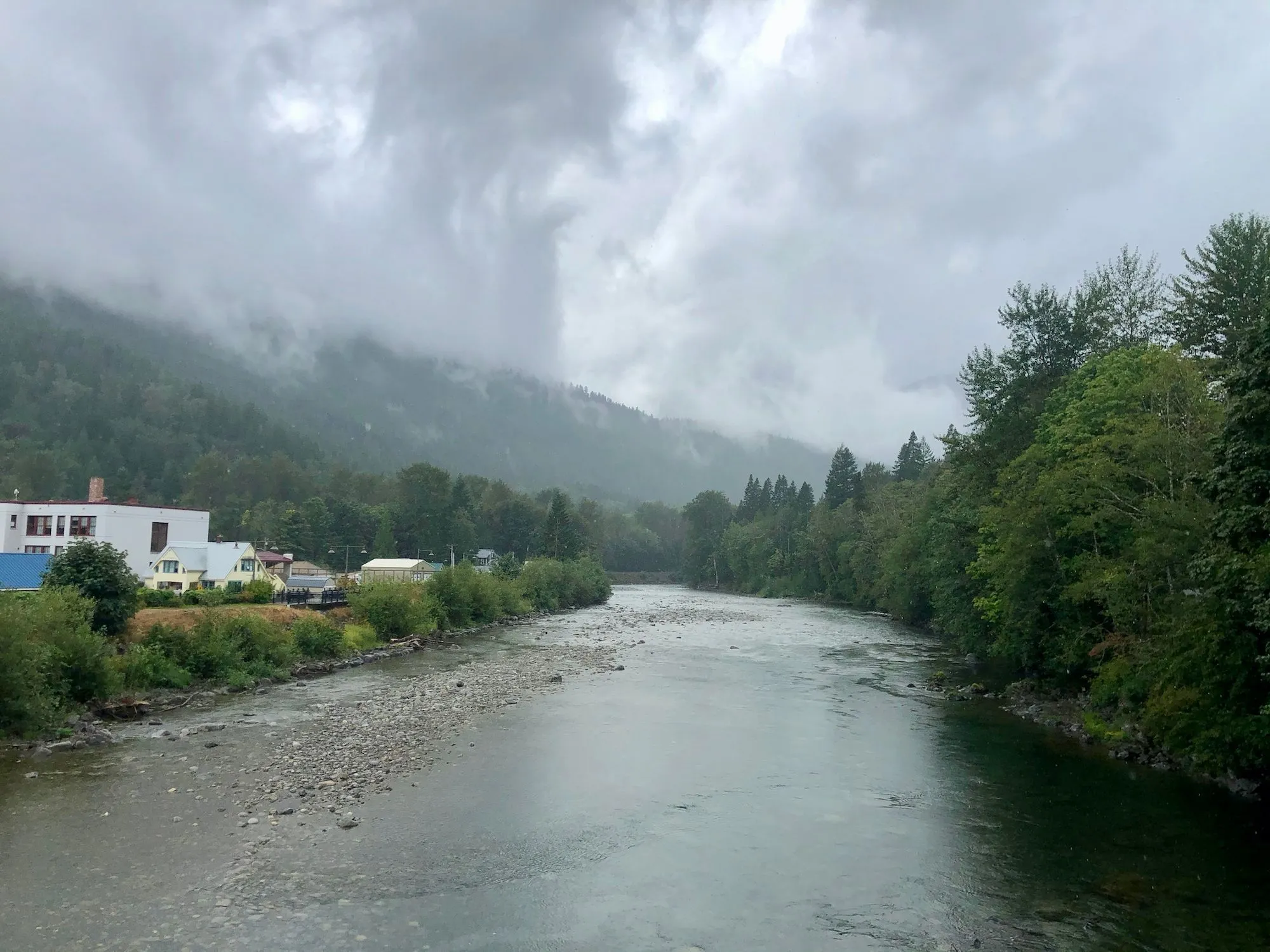
On my way back home, I thought I’d get some closure and find the road to my originally planned trailhead. Before doing so, I stopped for a quick minute in a tiny town of Skykomish (~200 residents) and went to their world-famous Great Northern & Cascade Railway museum. It’s tiny but welcoming and cute, and if you ask nicely, they’ll show you their collection of telegraph keys and tell a story about 20,000 telegraph operators who were serving the road in the past and refused to teach their trade to anyone outside of their immediate families.
And after some more research, I figured out the road to the trailhead I was originally planning to go to. It took me over an hour to cover something around 20 miles from Skykomish to the trailhead, but I did it.
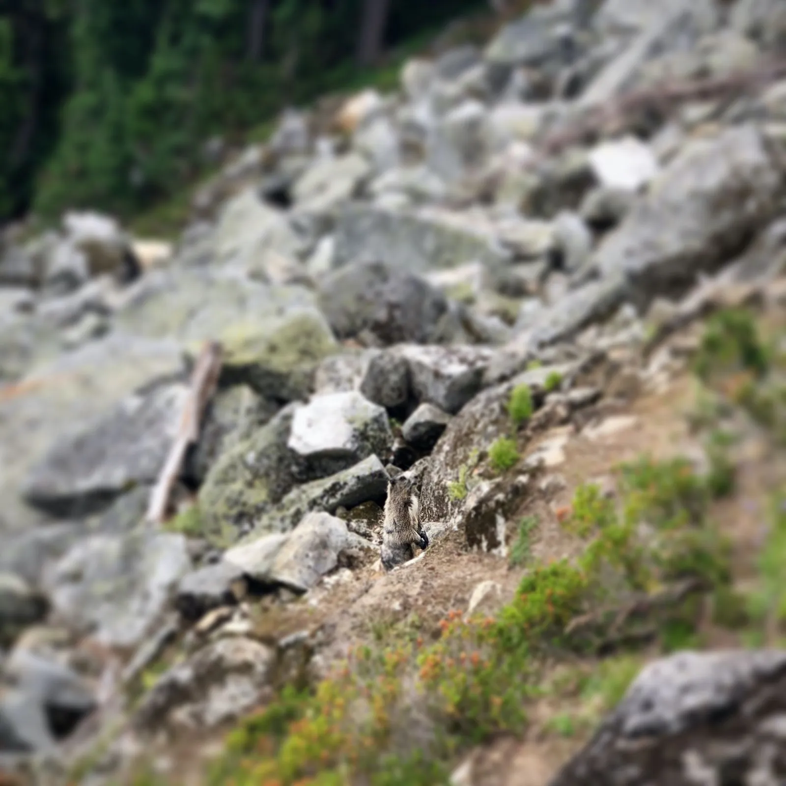
At the end of the day, I got to hike for a bit, spend two lazy days in nature, spooked a marmot, and found a way to the trailhead. Good times!
Next week is my vacation week, and I’m doing the Loowit trail — a 33-mile loop around Mt. St. Helens.
P.S. Here’s the report from my Loowit Trail hike 🔥